
Environmental and Energy Business Resources
...everything environmental and energy...
Connect to us:


Weather News from various Sources
Spaceweather.gc.ca - Geomagnetic Activity
http://www.spaceweather.gc.ca/
No storm watch
-No storm watch
Current: POL active, AUR active, SUB quiet
-Current conditions of the magnetic field
Polar (POL): Active
Auroral (AUR): Active
Sub-Auroral (SUB): Quiet
Forecast: POL active, AUR active, SUB quiet
-Geomagnetic forecast for the next 6 hours
No storm watch
Polar (POL): active + active intervals
Auroral (AUR): active + active intervals
Sub-Auroral (SUB): quiet
National Hurricane Center Graphical Tropical Weather Outlooks
https://www.nhc.noaa.gov/
NHC Atlantic Outlook
-


ZCZC MIATWOAT ALL
TTAA00 KNHC DDHHMM
Special Tropical Weather Outlook
NWS National Hurricane Center Miami FL
915 AM EDT Tue Mar 18 2025
For the North Atlantic...Caribbean Sea and the Gulf of America:
Tropical cyclone formation is not expected during the next 7 days.
Routine issuance of the Tropical Weather Outlook will resume on May
15, 2025. During the off-season, Special Tropical Weather Outlooks
will be issued as conditions warrant.
$$
Forecaster Hagen
NNNN
NHC Eastern North Pacific Outlook
-


ZCZC MIATWOEP ALL
TTAA00 KNHC DDHHMM
Tropical Weather Outlook
NWS National Hurricane Center Miami FL
1000 PM PST Sat Nov 30 2024
For the eastern North Pacific...east of 140 degrees west longitude:
Tropical cyclone formation is not expected during the next 7 days.
This is the last regularly scheduled Tropical Weather Outlook of
the 2024 eastern North Pacific Hurricane Season. Routine issuance
of the Tropical Weather Outlook will resume on May 15, 2025. During
the off-season, Special Tropical Weather Outlooks will be issued as
conditions warrant.
$$
Forecaster Beven
NNNN
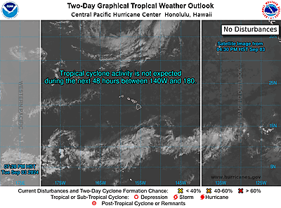
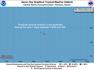
CPHC Central North Pacific Outlook
-
ZCZC HFOTWOCP ALL
TTAA00 PHFO DDHHMM
Tropical Weather Outlook
NWS Central Pacific Hurricane Center Honolulu HI
800 PM HST Sat Nov 30 2024
For the central North Pacific...between 140W and 180W:
No tropical cyclones are expected during the next 7 days.
The 2024 central North Pacific hurricane season officially ends
today, November 30. As such, this is the final routine Tropical
Weather Outlook for the 2024 season in general, and for this
forecaster in particular. Routine issuance of the Tropical Weather
Outlook will resume on June 1, 2025. During the off-season, Special
Tropical Weather Outlooks will be issued as conditions warrant.
$$
Forecaster Powell
NNNN
Ten sure ways to save on your home energy bill and help reduce global warming
All Information on our website are free for your use. You are required to reference our website each time you use our materials. Please link back to: Environmental and Energy Business Resources using website address: http://www.environbusiness.com.Get your own copy of the Ebook Clean Energy Fuels:

Support Us to Continue to provide you with more free contents: